Locations
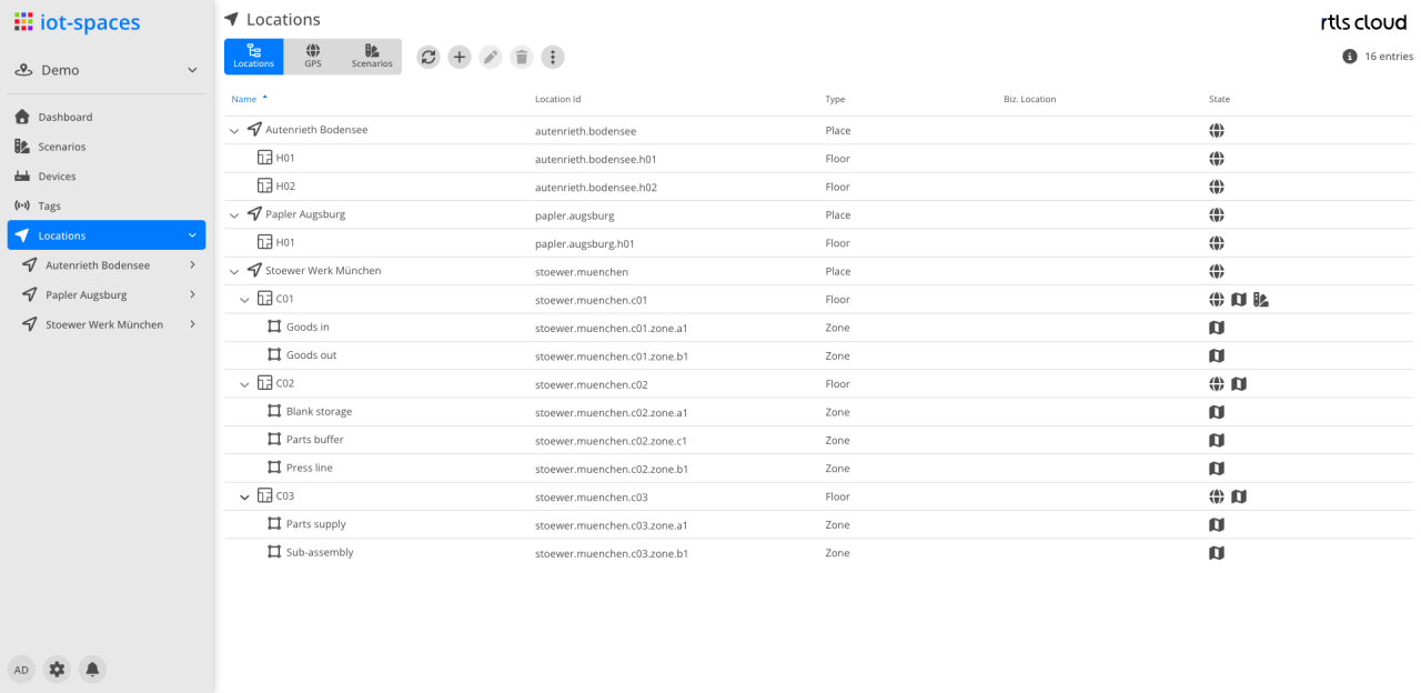
Location list
The list shows the locations of the space as a tree. Double-clicking an entry opens its detail perspective.


GPS
The GPS Map perspective shows the georeferenced locations of the space on the world map. The layer selection determines which locations are displayed.
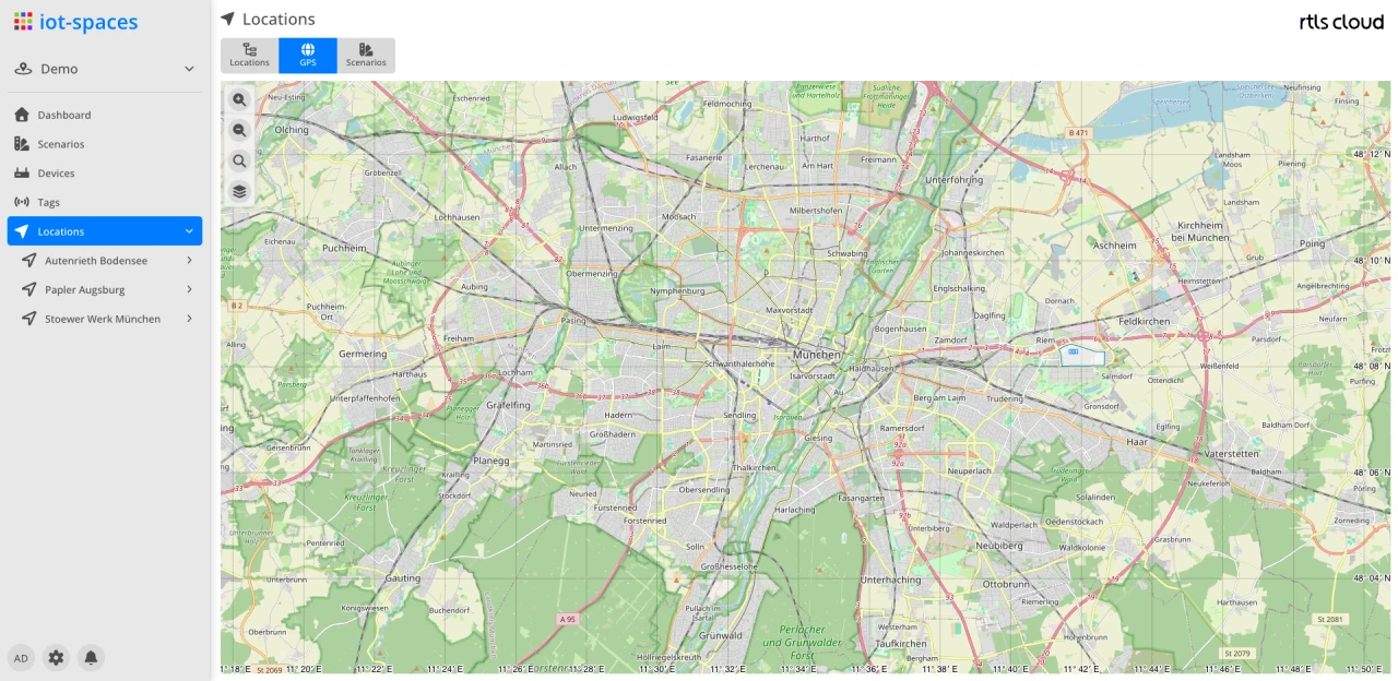
Georeferencing is the basis for mapping positions to GPS coordinates. It is done per location in its GPS Map and is only available for location types with the GPS Map feature enabled.
Scenarios
The scenarios perspective shows the space’s localization scenarios together with their operational state. In the location overview this includes scenarios that belong to no single location but work for the whole space — positioning over cellular networks, for instance, whose state follows from the cloud services involved rather than from devices.
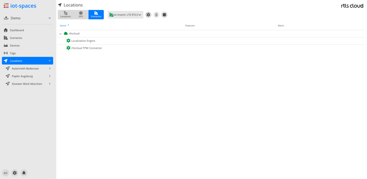
The scenario to display is chosen from the select in the header; it carries the scenario’s display name. Below it, the list shows the scenario’s participants as a tree:
| Column | Description |
|---|---|
Name |
Participant of the scenario — for a scenario without a location, the cloud services that run it. The leading icon shows the state by colour: green for active, grey for inactive or not reported |
Features |
The functions of the participant, each as a chip carrying its state |
Errors |
Open messages of the participant; empty in error-free operation |
A single location shows, in the same perspective, the scenarios assigned to it along with the devices they use; see Location.
Managing the scenarios themselves is described under Scenarios.