Location
Attributes
The detail perspective shows the master data of the location. Name, type, and business assignment are maintained here.
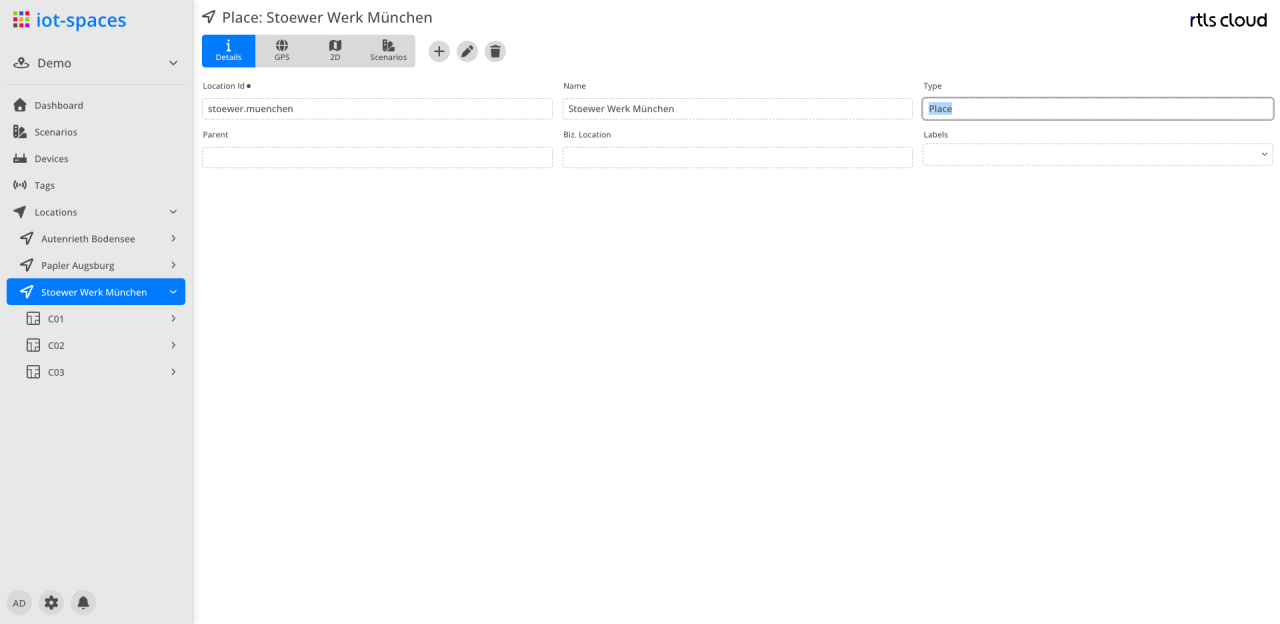
| Field | Type | Description |
|---|---|---|
Location Id |
Text |
System id of the location |
Name |
Text |
Display name of the location |
Type |
DropDown |
Location type; determines the available features (e.g. GPS Map, 2D Map, scenarios) |
Parent |
Text |
Parent location in the tree; empty for the topmost location |
Biz. Location |
Text |
Business location of the location |
Labels |
List |
Free-form keywords of the location |
GPS
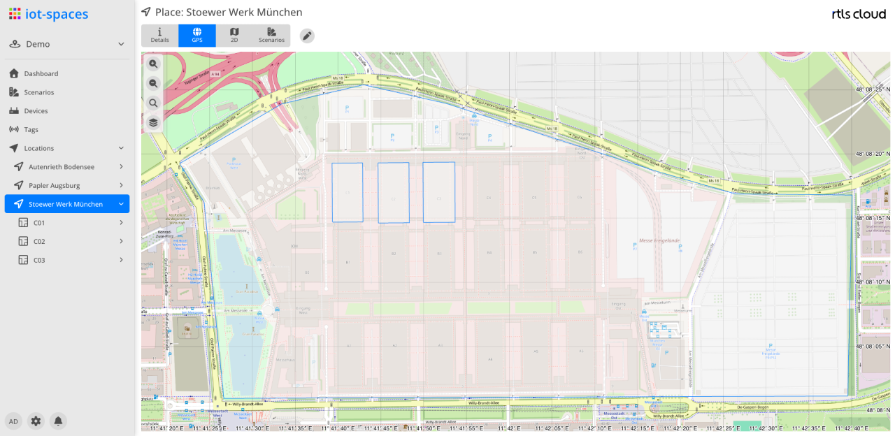
In the GPS Map perspective, the location is georeferenced on the world map. The georeferencing is the basis for mapping positions of the location to GPS coordinates and is only available for location types with the GPS map feature enabled.

Map
The 2D Map perspective shows the floor plan of the location. The map image is uploaded and referenced against the location geometry; zones and devices are then placed on it.
Scenarios
The scenarios perspective shows the localization scenarios assigned to the location, together with the devices used in them and their operational state.
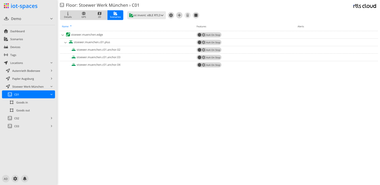
The scenario to display is chosen from the select in the header. The devices appear in their hierarchy — the edge, below it the anchor+ units and their anchors — with the same columns as in the scenarios perspective of the location overview.
Managing the scenarios themselves is described under Scenarios.